Sustainable Green Prospects for Water,
Biodiversity and Livelihood in the Atewa Landscape
 ©N. Salaün
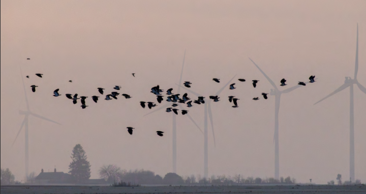
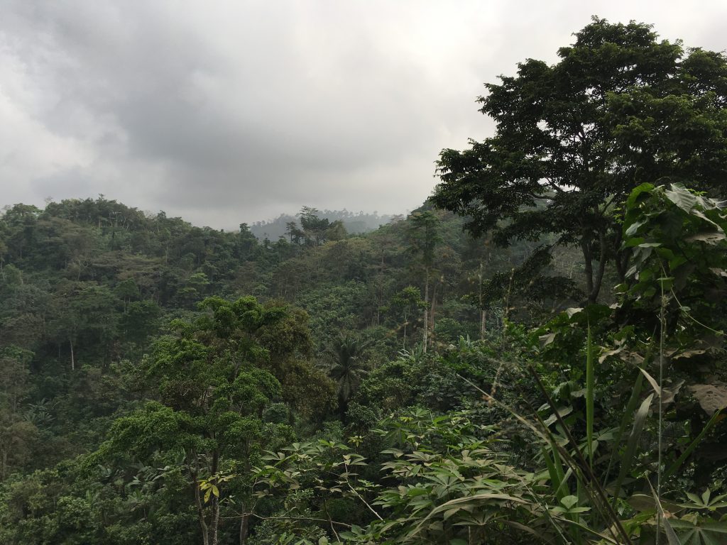
Atewa Forest Reserve is located in the Eastern Region of Ghana, just about 90km drive from Accra. The forest covers an area of 23,663 ha and forms part of the Upper Guinean forests of West Africa. This unique ecosystem is home to around 656 species of plants, 63 of mammals, 32 of amphibians, 227 of birds and 700 of butterflies. In 2017, A Rocha Scientist discovered critically endangered White Naped Mangabey (Cercocebus lunulatus) in the Atewa forest. Additionally, this area benefits from several high conservation value statuses (national forest reserve, Hill Sanctuary, one of Ghana’s 30 Globally Significant Biodiversity Areas, Important Bird Area, etc.). Atewa is also a hydrological gem providing potable water for major population centres, including Accra. The Atewa Forest Reserve consists of a core zone designated as ‘Atewa Range Forest Reserve, ARFR’ and an extension known as the ‘Atewa Extension, AE’. The buffer consists of cocoa and other crop plantations which serve as the main source of livelihood to the over 40 communities fringing the forest.
Over the years, the ARFR has been faced with several challenges not limited to illegal logging, hunting, farm encroachment, illegal mining and more eminently the government’s decision to mine bauxite. The challenge of bauxite mining has been hovering over the Atewa Forest for at least 2 decades now. However, research oriented advocacy and several biological asset discoveries highlighting its biodiversity wealth and more importantly its water provisioning services has provided sufficient justification for any mining plans to be aborted. However, the government is adamant in rescinding its decision to mine bauxite within the Atewa forest thus making this the greatest threat facing the Atewa range landscape.
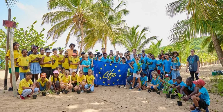
Funding support form PPI-FFEM is currently contributing to improving community participation in the sustainable governance and management of natural resources within the south eastern boundaries of the ARFR (the main source of potable water) with the aim of improving livelihood and biodiversity outcomes. These would be achieved through establishing and strengthening natural resource governance structures and management instruments in ten communities within the Atewa landscape, empower and support communities to undertake integrated landscape management within the proposed Community Resource Management Area (CREMA) and improve cocoa farming systems and value chain to increase income levels of local farmers.
Prospects for Atewa landscape include gazetting the reserve as a flagship National Park, with a thriving tourist industry that supports park operations; valuation of the wider landscape as a green enterprise zone which encourages forest-friendly land use; etc. Our proposed roadmap to achieved these outcomes encompasses (i) designating ARFR as a National Park with immediate effect; (ii) developing a landscape master plan to improve the management effectiveness of the protected area and its buffer zone; (iii) putting in place a sustainable financing process to implement sustainable use options; and (iv) encouraging international cooperation in the delivery of the Atewa Living Landscape.
Plus d’informations
– Website of A ROCHA GHANA:http://ghana.arocha.org/
– Short presentation of the project lead by A ROCHA GHANA